

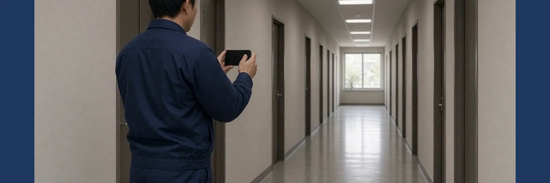
Sumaho DE Zumen
Sumaho DE Zumen
Sumaho DE Zumen
Difference analysis of past information and today’s photos, reflected in the floor plan
We compare past information (public information, PLATEAU and maps) with photos of today taken on a smartphone, find what has changed (the differences) and reflect it in the floor plan
Difference analysis means comparing old records with how things look now to find what has changed
Applications open soon (planned for October 19, 2026)
- Past information (public information, PLATEAU and maps) forms the base of the floor plan
- Send photos of today taken on a smartphone through LINE
- The differences are analyzed and reflected, and more photos mean more accuracy
Past information as the base, current photos to reflect the differences in the floor plan. Easy information sharing with Ichigen-cho
We build floor plans that are as accurate as possible from every source of information
BasePast information
Public information
From the registered address and building name, we look up floor plans and floor areas published on the websites of the building or rental agencies
*The floor plan images themselves are not shown in the service or on this page
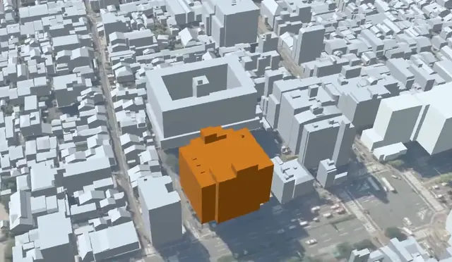
PLATEAU
From the PLATEAU (3D city model) data of Japan’s Ministry of Land, Infrastructure, Transport and Tourism (MLIT), we use the outline and height of the building
Maps
From maps such as those of the Geospatial Information Authority of Japan (GSI), we check the location of the building and the roads it faces
NowSmartphone photos
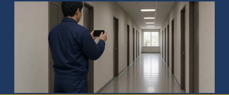
Reflecting the differences with current photos
From photos taken with a smartphone and sent through LINE, we read the differences from the past information, such as the current layout, the positions of equipment and places changed by renovation, and reflect them in the floor plan
An approximate floor plan close to how the building is today
How orientation and direction are decided
1
Address to latitude and longitude
From the registered address, we find the location on the map (latitude and longitude)
2
Learning north, south, east and west from PLATEAU
The building outlines in MLIT’s PLATEAU data are recorded in their true orientation on the map, so the building’s north, south, east and west are known
3
Deciding the front and entrance from road maps
From road data such as GSI maps, we check which side of the building faces which road and decide the direction of the front and entrance
4
Checking with photos
With smartphone photos, we check how the entrance and the street look
In areas where PLATEAU data is not yet available, we use the building shapes on GSI maps
Where neither is available, we plan to ask you to tap the entrance on the map once
*The functions for deciding orientation and direction will be made available in stages after applications open
Why import photos from a smartphone
Public information and PLATEAU are the base of the floor plan
Photos add how the building looks today and what the site is like on top of that base
Keeping the floor plan up to date
Floor plans and as-built drawing* show the building as it was when they were made, so renovations, tenant changes and equipment updates can make them differ from today
Photos let us check how the building looks today and keep the floor plan up to date
Adding equipment that floor plans do not show
The positions of equipment that floor plans do not show, such as distribution boards, air conditioning, fire extinguishers and piping, can be added to the floor plan
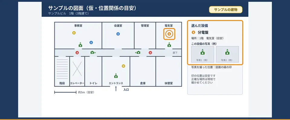
Photos stay linked to places
Photos stay linked to places on the floor plan, so during inspections, work and trouble you can see right away what happened where
The same photos and floor plans for everyone involved
Contractors, building maintenance companies and owners can share the same photos and floor plans, and use them as records before and after work and to prepare for complaints
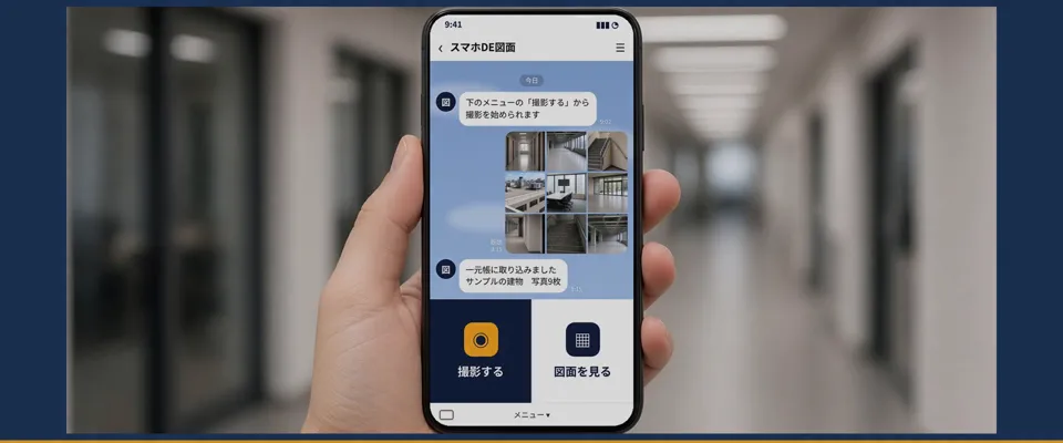
Just send through LINE
Since you only need to send photos through LINE, anyone on site can add photos
The more photos, the more accurate the floor plan
*The functions described will be made available in stages after applications open
*As-built drawings: drawings handed over by the construction company when a building is newly built
Most are kept on paper, and turning them into PDFs requires a paid scanning service, for example through a building maintenance company
The information is accurate, but after years of renovations some parts may differ from the actual building
How the photo shoot works
Once you register the address and building name, we make the base of the floor plan from public information and PLATEAU, and then you take photos on site as follows
1
First round of photos
First, we tell you roughly how many photos to take on each floor
Send the photos you take through LINE
2
Please wait a few minutes on site
When you have sent the first round, we tell you through LINE that we are checking for missing places and ask you to wait a few minutes on site
3
Extra places and numbers through LINE
A few minutes later, we ask in words only for extra places and numbers of photos (for example “10 more of the northeast corner of the 2nd floor, around ROOM8”)
We do not send drawings
4
Second round of photos
Take and send them on the spot
Only a few photos are needed, so it does not take long
5
A floor plan for checking, just once through LINE
After the second round, we send the photographer a floor plan for checking through LINE just once
6
A third round if needed
If anything is still missing, we guide you through LINE for a third round
Why this flow works well
- You can keep shooting on site, so there is no need to come back
- Only one floor plan is sent through LINE, so there is no confusion
- The more photos, the more accurate the floor plan
*Requests for extra places and numbers (2, 3 and 6) will be made available in stages after applications open
A floor plan from public information, and an approximate floor plan with photos added
Adding photos puts the positions of equipment not shown in floor plans and the current layout into the floor plan
It is not as accurate as an as-built drawing*, but it is good enough for managing the positions of rooms and equipment in Ichigen-cho
① First estimate from public information only

② In progress, corrected with photos

③ Approximate floor plan with photos added

Everyone involved can use it
People who manage
Staff at building maintenance or property management companies manage buildings and floor plans in one place
People who send photos
On-site staff and contractors send photos taken with a smartphone through LINE
People who only view
Owners and others can view floor plans and photos
Shooting with several people makes floor plans easier
1
Any number of photographers, each from their own LINE
Each photographer can send photos of the same building from their own LINE
2
Photos and people per floor, on the spot
With the floor buttons in LINE, you can see the total photos and people for each floor on the spot, and press “This floor is done” when finished
3
Date, time and photographer are kept
For each photo, the date and time (when it was taken, or when we received it if that is not available) and the photographer are recorded
They are shown as information when making floor plans in Ichigen-cho, so photos serve as evidence of “now”
4
A list with “View sent photos”
With “View sent photos” in the LINE menu, you can see a list of the photos you sent, with date, time and photographer
2F34 photos, 2 people
This floor is done
People who send photos and people who only view are not counted as users
Prices (planned)
- Ichigen-cho Lite (when using Sumaho DE Zumen on its own)
- JP¥3,980 per month (excluding tax, planned), JP¥40,596 per year (excluding tax, planned)
- If you use Ichigen-cho Building Maintenance
- We plan to charge nothing extra up to the number of buildings in your contract
- 3D view (PLATEAU) option
- Available to order with an Ichigen-cho contract (JP¥300 per building per month, excluding tax, planned)
Ichigen-cho Lite prices (Japanese)Ichigen-cho Building MaintenanceContact us
Ichigen-cho is a service of DiO inc., not a service of Japan’s Ministry of Land, Infrastructure, Transport and Tourism
PLATEAU is a 3D city model project led by Japan’s Ministry of Land, Infrastructure, Transport and Tourism
LINE is a trademark or registered trademark of LY Corporation
3D image: created by processing MLIT 3D city model (Project PLATEAU) Kyoto City (FY2025)
*Photos and screens are illustrative