DiO Inc | Cognize Business

Cognize Business

“Point Cloud Business”
that connects the dots to a new world

Point cloud

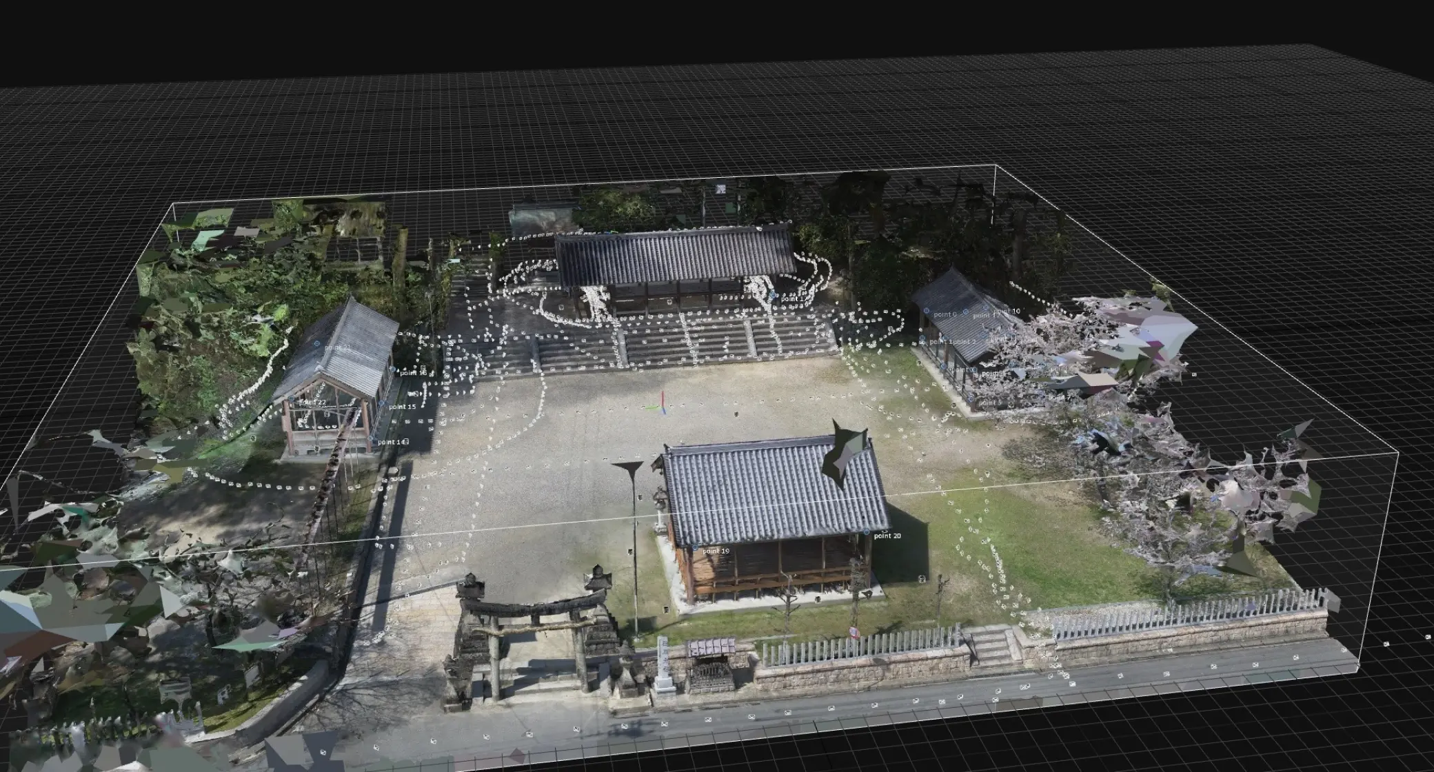
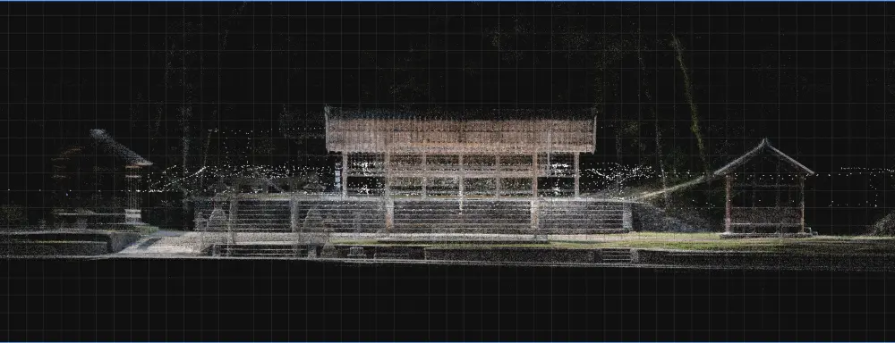
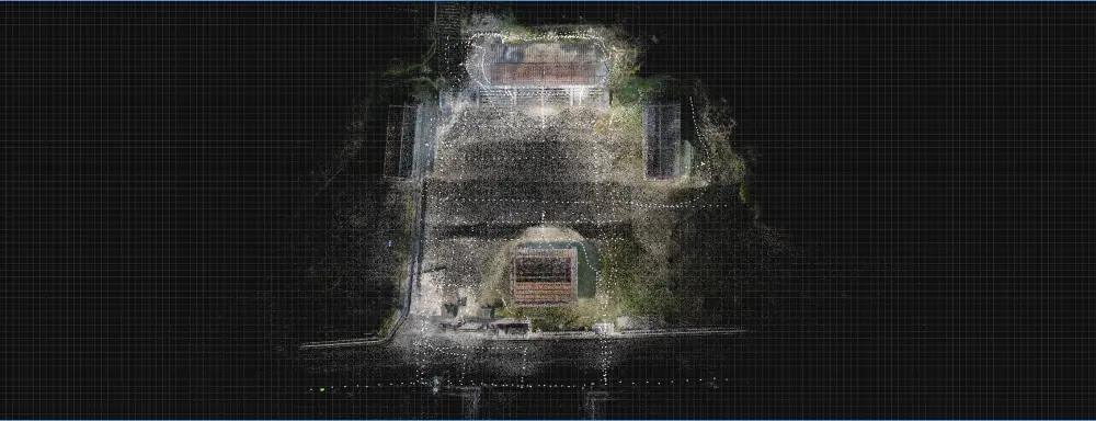
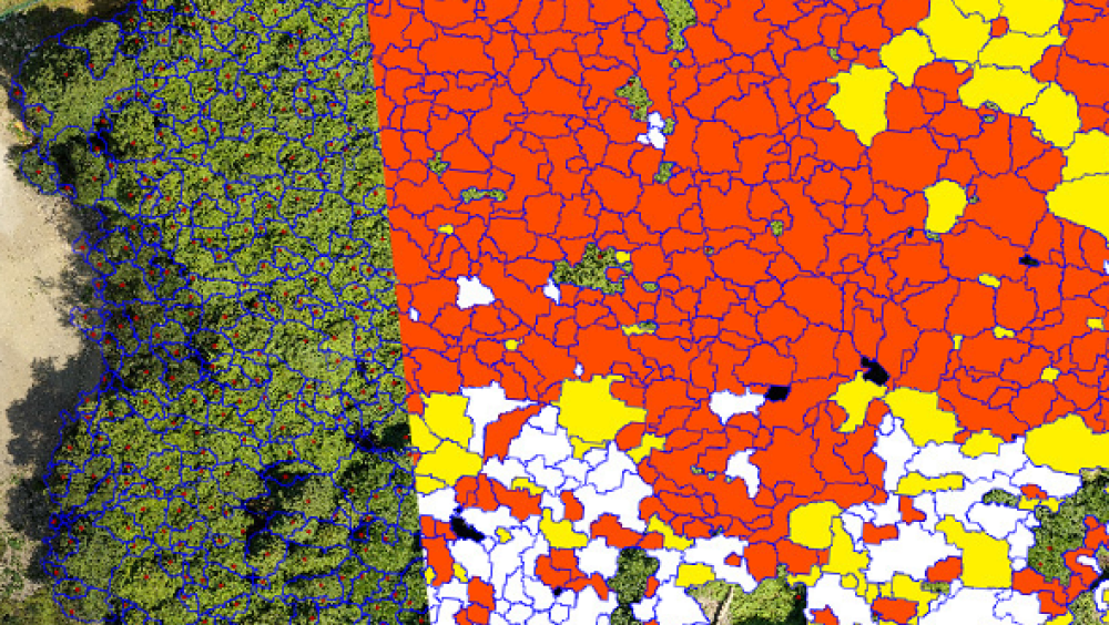
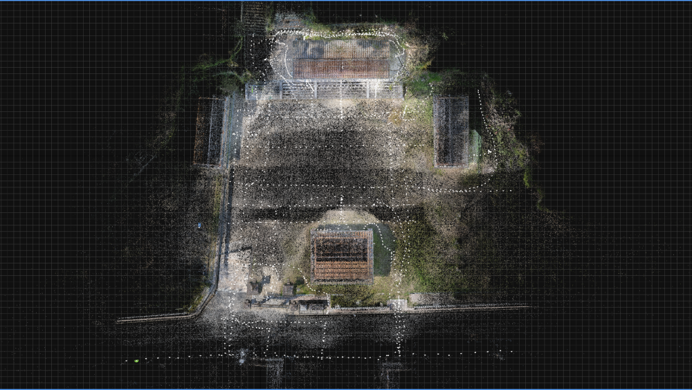
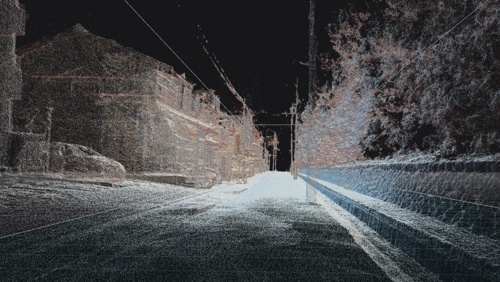
A set of point data with three-dimensional coordinates (x, y, z) and optical color information (R,G,B).

The data acquired using the method described below can be saved as digital data and processed according to what it will be used for.
That is why this method is now being used in a wide range of fields.

DiO Inc 点群情報参考画像1 DiO Inc 点群情報参考画像2

Leading equipment
and technologies in Japan

Our most common measurement methods are as follows.
We select the appropriate method depending on the scale and subject.

#01

Laser Surveying

A laser is directed towards the target object to capture its surface,
and the distance is calculated by measuring the time delay between receiving the reflected wave, resulting in the creation of a 3D computer-generated model.

株式会社DiO 機材と技術参考画像1

Aerial Surveying : Drone

株式会社DiO 機材と技術参考画像2

Ground-Based Surveying : 3D Scanner

株式会社DiO 機材と技術参考画像3

GNSS Surveying

#02

Photogrammetry

The object is photographed from various angles, and then this data is analyzed and synthesized to generate a 3D computer-generated (3DCG) model.

Structure from Motion Multi-View Stereo photogrammetry

Structure from Motion
Multi-View Stereo photogrammetry

The relative camera position is estimated from multiple photos of the object.

The technology then combines this to restore the 3D shape based on the texture of the object’s surface to generate high-density point cloud data.

Furthermore, our company adds high-definition image quality, making it possible to generate one-of-a-kind point cloud data.

株式会社DiO SfM多視点ステレオ写真測量技術イメージ

#03

Point Cloud information business domain

株式会社DiO 点群情報ビジネス領域 メタバース構築

Mataverse construction

株式会社DiO 点群情報ビジネス領域 VRコンテンツ制作

VR content creation

株式会社DiO 点群情報ビジネス領域 BIMモデル制作

BIM model production

株式会社DiO 点群情報ビジネス領域 デジタルアーカイブ

Digital archive

株式会社DiO 点群情報ビジネス領域 データ解析・検査

Data analysis and testing

株式会社DiO 点群情報ビジネス領域 解析イメージ

Analysis

Composite point cloud data according to the purpose of analysis, and remove noise and unnecessary objects. Then, AI analysis is performed to determine the type of object and area of the object, and to measure dimensions and recognize space.

株式会社DiO 点群情報ビジネス領域 組織イメージ

Composition

By connecting the points of data with edges or surfaces, the data is converted into triangle or rectangle mesh (polygon) data. The data is then regularly divided to create high-density, high-definition 3D models with smooth curvilinear expressions and highly flexible surface editing.

Development

株式会社DiO 消費電力量削減のデータ比較・解析

01

Comparison and analysis of power consumption reduction data

By implementing power consumption reduction measures and analyzing the data to determine the extent of reduction, we can calculate the corresponding decrease in CO2 emissions, helping to improve the environment.
Furthermore, we help contribute to the realization of a carbon-neutral society by measuring and analyzing the amount of CO2 absorbed and accumulated by forests and using this information under the Forestry Agency’s J-Credit business.

株式会社DiO 3D都市モデルの構築

02

Building 3D models of cities

With the aim of undertaking a digital transformation of urban development, we are set to be involved in a project led by the Ministry of Land, Infrastructure, Transport and Tourism to promote the development, utilization, and open data of 3D models of cities.
We will be mainly in charge of modeling the point cloud information and will increase the number of projects we work on through collaboration with the primary contractors.

株式会社DiO 文化財点群データ収集

03

Collecting point cloud data of cultural properties

Even though Japan is a country where natural disasters occur frequently, many cultural assets are not recorded as illustrations, or this information is stored as paper documents. By acquiring point cloud data before a disaster strikes and creating a 3D model, we can record cultural assets as illustrations and achieve reconstruction quickly in the event of a disaster.

株式会社DiO 損害保険の三次元デジタル鑑定

04

3D digital appraisals for accident and disaster insurance

When buildings are damaged by natural disasters such as earthquakes, visual inspection work by appraisers is a headache.
By acquiring and comparing point cloud data before and after the disaster, highly transparent information can be obtained quickly from digital information, which in turn makes it possible to issue a damage certificate quickly.

※Business model patent pending