株式会社DiO|私たちの技術

Our technology

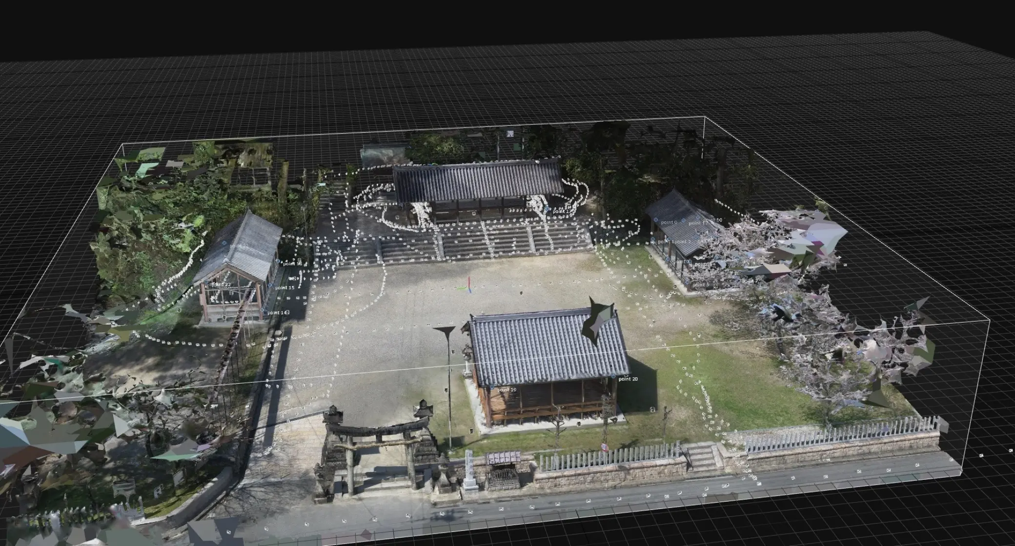
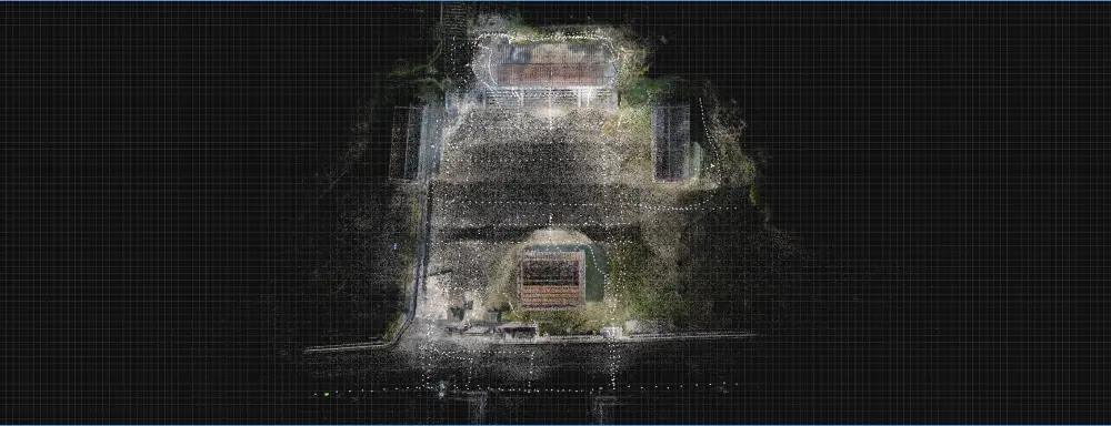
Point cloud

A set of point data with three-dimensional coordinates (x, y, z) and optical color information (R,G,B).

The data acquired using the method described below can be saved as digital data and processed according to what it will be used for.
That is why this method is now being used in a wide range of fields.

株式会社DiO 点群情報参考画像2

Method of acquiring point cloud information

Our most common measurement methods are as follows.
We select the appropriate method depending on the scale and subject.
(Click on the icons to see a detailed description of each measurement method)

Laser Surveying

Photogrametry

DiO’s strengths− 3 technologies

In addition to acquiring point cloud information by combining the above techniques and equipment,
We are creating new business scenarios by measuring and analyzing the differences in temporal changes in point cloud information.

Surveying

Laser scanning

Photogrammetry

Analysis

Synthesis

Noise adjustment

Impurity removal

Composition

Polygon modeling

Surface modeling

Subdivision

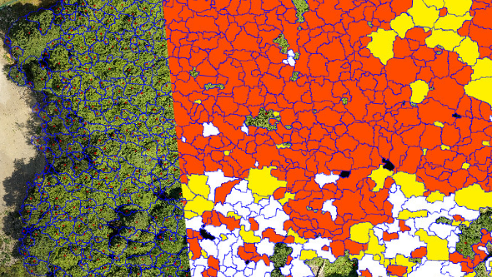
Composite point cloud data according to the purpose of analysis, and remove noise and unnecessary objects. Then, AI analysis is performed to determine the type of object and area of the object, and to measure dimensions and recognize space.

By connecting the points of data with edges or surfaces, the data is converted into triangle or rectangle mesh (polygon) data. The data is then regularly divided to create high-density, high-definition 3D models with smooth curvilinear expressions and highly flexible surface editing.

Difference
information analysis

Technology that measures the difference between before and after point cloud data acquisition and
calculates the degree of change that has occurred.

Even in locations that are difficult to determine visually,
drones and other equipment can be used,

Examples of Technology Applications:

Data comparison and analysis of
energy consumption reductions

We contribute to the environment by analyzing the difference in data on the extent of reductions through power consumption reduction efforts and calculating the amount of CO2 emission reductions.
In addition, we will survey and analyze the amount of CO2 absorbed to help realize a carbon-neutral society.

Spatial information generation

We use the latest technology and equipment to produce content such as VR, 3D, Metaverse content, images, and videos.

Using laser scanners with range finder technology and photogrammetry technology, we are able to reduce the size of the data by using low polygons while still producing high-quality content. We have also increased our production speed by introducing AI and deep learning technology.

Examples of Technology Applications:

Composition of point cloud and CG

By combining point cloud data and photogrammetry, we can create highly accurate and detailed 3D models.
We can provide highly versatile assets by combining the coordinate information contained in point cloud data with the location information contained in photogrammetry. We will help improve expression in a wide range of fields,
including virtual production, which is expected to see significant growth in the coming years, and the production and construction of digital twins.

Our works

往馬大社

東福寺光明院

大江能楽堂

五山送り火

Optimization

We combine various equipment and technologies to carry out an innovative optimization of information.

For example, by developing products and services in real and virtual spaces and adding digital technology to tasks that have been done visually, we can help create a society more attuned to the people in it.

株式会社DiO 点群情報ビジネス領域 メタバース構築

Mataverse construction

株式会社DiO 点群情報ビジネス領域 VRコンテンツ制作

VR content creation

株式会社DiO 点群情報ビジネス領域 BIMモデル制作

BIM model production

株式会社DiO 点群情報ビジネス領域 デジタルアーカイブ

Digital archive

株式会社DiO 点群情報ビジネス領域 データ解析・検査

Data analysis and testing